Black Swan Mobile Drone Services provides drone mapping, photogrammetry, and project visibility solutions for construction, engineering, infrastructure, and telecom projects throughout Virginia, Maryland, and Washington D.C.
Veteran-Owned Small Business
- FAA Part 107 Certified
• Commercially Insured
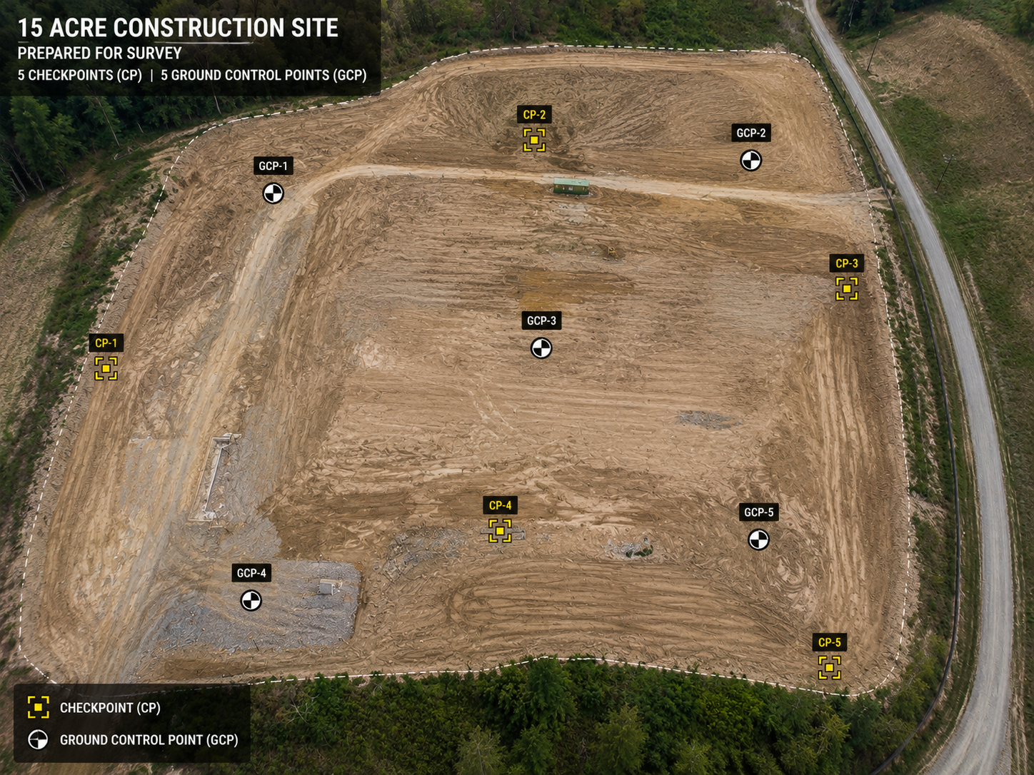
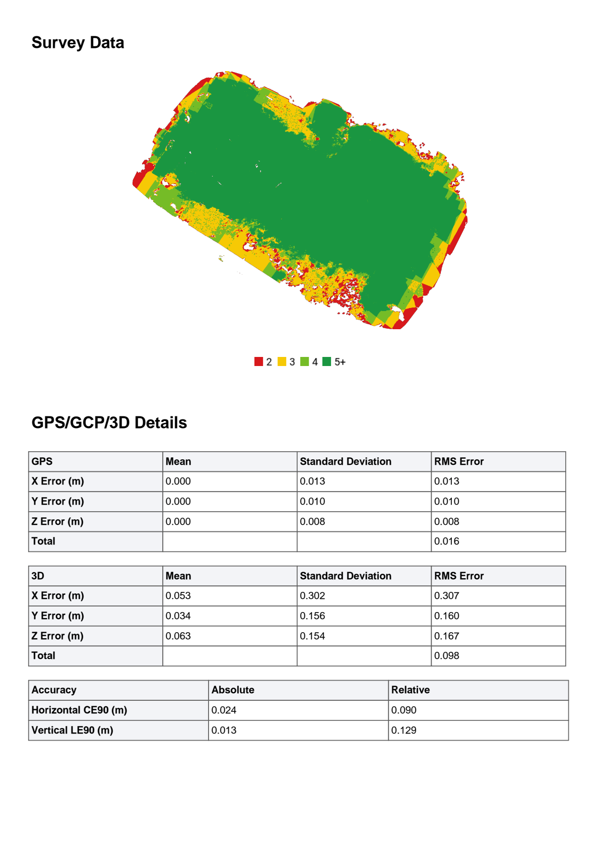
• RTK-enabled mapping for improved positional accuracy and reliable site documentation.
Technology
DJI Matrice 4E with RTK Positioning,
High-Resolution Mapping,
Construction Progress Documentation,
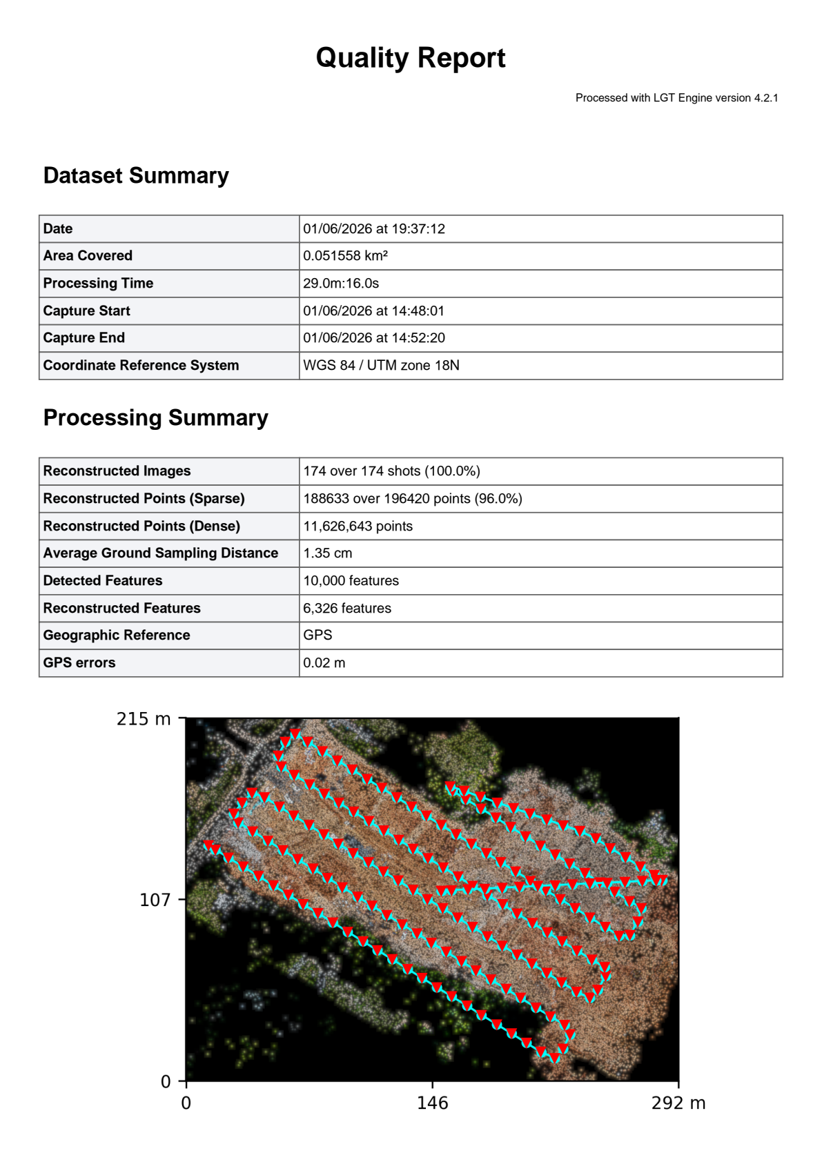
Orthomosaic Processing and 3D Site Modeling.
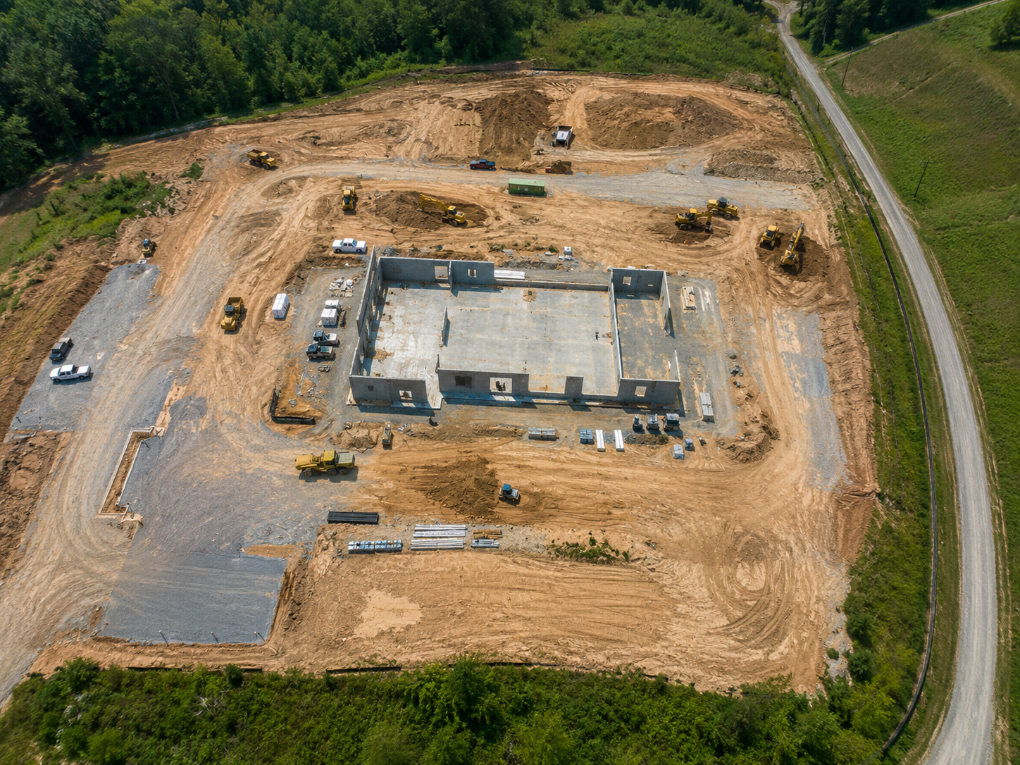
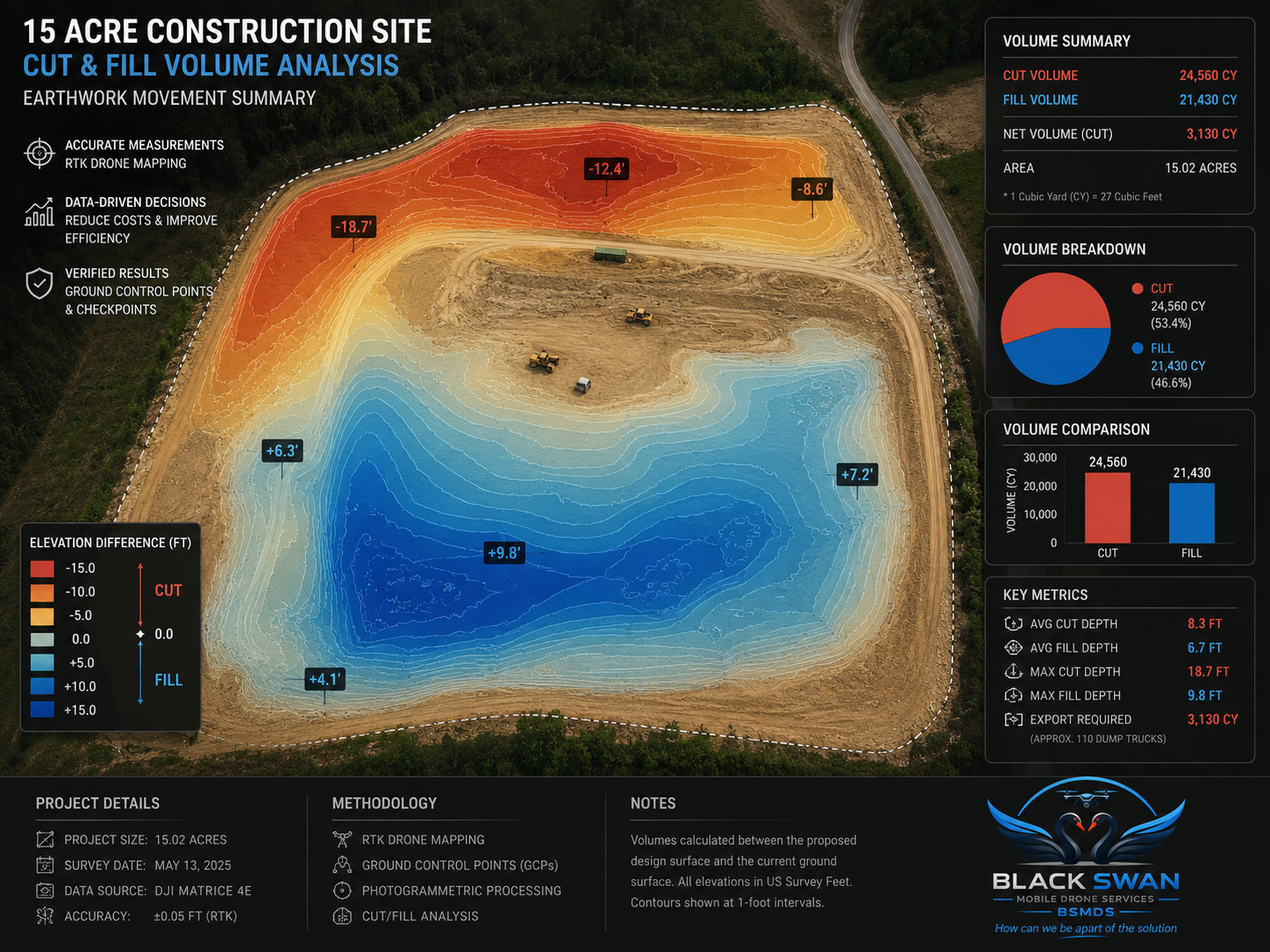
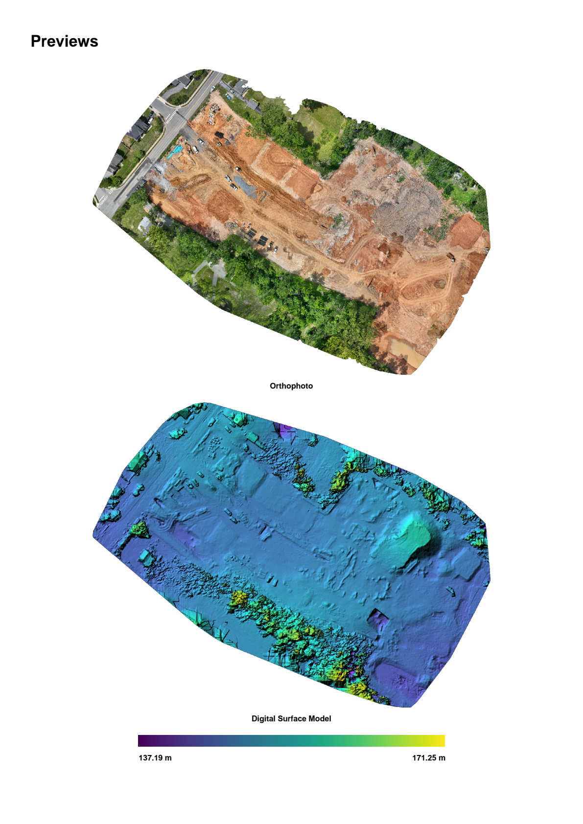
Drone mapping and progress monitoring for construction projects
Black Swan Mobile Drone Services provides construction professionals with accurate aerial maps and real-time project visibility that improve planning, reporting, and decision-making throughout every phase of construction.
Service Areas
Northern Virginia
Richmond
Fredericksburg
Charlottesville
Roanoke
Harrisonburg
Lynchburg

Gain Real-Time Construction Project Visibility
Discover how our drone services make it easier for construction teams to track project progress, avoid issues, and achieve better outcomes. Our solutions offer comprehensive site insights, improving communication and decision-making.
Why choose our drone mapping services?
Black Swan Mobile Drone Services combines professional aerial mapping, construction progress monitoring, and responsive local service to give project teams accurate, up-to-date information throughout every phase of construction. The result is better project visibility, fewer surprises, and more informed decision-making.